Google is an amazing company. They've made it possible to search over a trillion web pages in a fraction of a second. Google Maps is similarly an incredibly useful tool. I can see pictures of my house from a satellite in space and from a car that Google paid to drive down my street. With one search, I can get accurate driving directions from my home to the Empire State building, or the Indian restaurant across town. Google dominates it's competitors in this space. Apple received substantial criticism when it replaced Google Maps with their own mapping service to power iPhone navigation. I was visiting my sister that week, and she was late picking me up from the airport. Her iPhone had sent her in the wrong direction. Google maps are wonderful for driving directions and street-level mapping.

However, if you want to convey geographical information at the city, state or country level, Google maps will fail you. Here's why:
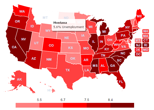
Distracting. Google Maps throw way too much information at your users. If you are trying to visualize differences in state laws, your users don't need to see the Rocky Mountains. They don't need to be distracted by interstates, streets, rivers, and parks. They shouldn't be able to accidentally zoom into an LA neighborhood or pan the map over to China. All of these options and information just get in the way of the message you are trying to communicate to your visitors.
Not Professional. Anyone can create a Google map in a number of minutes. Worse, Google plasters their logo, copyright notices, and their partners logos all over the map. If you are displaying the map prominently on your website these features make your map look cheap and unprofessional.
Ugly. Google's maps look just great when they are used for street navigation. However, optimizing for street-level data requires certain aesthetic trade offs For example, Google Maps use the Mercator Projection of the world. This makes it easy to plot latitude and longitude, but makes the area of countries near the poles abnormally large. See image. Our beautiful, JavaScript world map, uses the more aesthetically-pleasing Robinson Projection.
No Control. Google maps are hosted on their servers. If Google's servers go down, so do your maps. If Google stops offering their maps for free, you better pony up some cash. If they change their API, some features you've been relying on may no longer work. When you buy an interactive map from us, you control the code. If we go out of business, your map still works. Want to show the map offline? No problem.
Google maps are great for a lot of things. But they are not a panacea. Are you trying to improve the navigation on your travel website? Want to visualize child mortality rates around the world? Listing your regional sales reps on a U.S. map? Give us a try. You can customize your own map in minutes. It will look clean, beautiful, professional, and give you full control moving forward:
To learn more, check out our US HTML5 Map or our HTML5 World Map.
Home | License | Privacy | Releases | Testimonials | Resources | Documentation | Order Lookup | All Maps | FAQs
Popular Resources: Free SVG Maps | Free GIS Files | Free Cities Data | Zip Code Visualizations | Trauma Centers by State | Geography Quizzes
SimpleMaps.com is a product of Pareto Software, LLC. © 2010-2026.